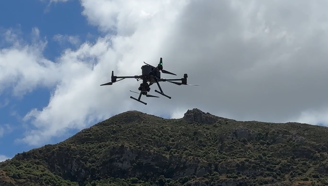
 LPC has recently introduced state-of-the-art UAV drone technology into asset management operations.
This approach advances LPC data collection processes of its property and assets, ensuring remarkable precision and efficiency.
One of the standout features of LPC’s new UAV/drone is its ability to capture precise locations, making it a game-changer for mapping sites and structures within LPCs boundaries.
This capability benefits LPCs asset condition assessments and periodic inspections, allowing for a close-up look at specific components like bolts, welds, even cracks in pavements.
Richard Cookson, Head of Procurement and UAV pilot instructor, says the accuracy is to the parameters required for GIS mapping.
“Once captured, the pilots have the option of stitching hundreds of images into a single large image of an Port area they wish to analyse,” Richard said.
Previously, operations required personnel to physically mark areas on maps and take photos, which was time consuming, challenging and imprecise.